


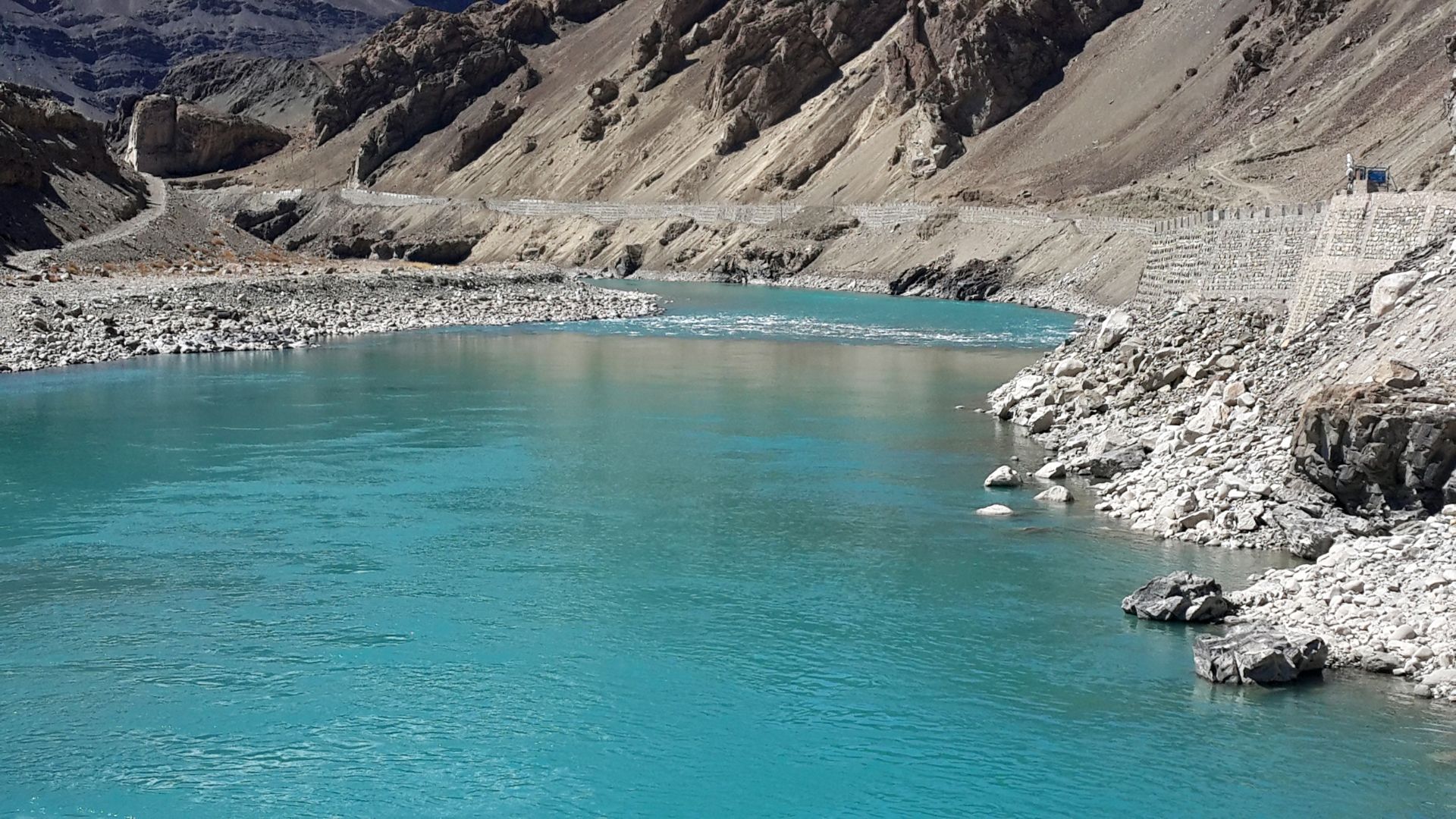
Indus River Basin: Geographical and Hydrological Profile
Indus river basin has been the cradle of the Indus valley civilisation and since has sustained human life in the region. It stretches across four nations – China (along with Tibet), India, Pakistan and Afghanistan, draining an area of about 11,65,500 sq. km.
Latitude and Longitude: 72°28’ to 79°39’ east longitudes and 29°8’ to 36°59’ north latitudes
Length of the Indus River in India: 1,114 km
Total catchment area in India: 321,289 sq. km,
Major tributaries (left bank): Jhelum, Chenab, Ravi and Beas
The Indus river basin spreads across states of Punjab, Jammu & Kashmir, Himachal Prdesh, Rajasthan and Chandigarh becoming the lifeline of the Indian people in the north, supporting 37.4 million + people.
Water Resource Potential and Usage
The average water resource potential of the Indus River basin is assessed at 73,310 million cubic meters (MCM). Indus River is the essential source of drinking water supply. It provides essential irrigation to the states of Punjab and Haryana which are the agricultural heartlands of India. It also contributes to India’s clean energy goals with more than 55 hydroelectric projects in progress.
Indus River has immense potential of water in terms of amount of cubic meters that flow through it. However, despite this potential, abstraction of water for various purposes like agriculture, power generation and domestic use has impacted its water flow patterns in a significantly noticeable manner. Water quality of Indus and its rivers is generally excellent upstream but deteriorates downstream.
At present, even though quality of water deteriorates, it is still within permissible limits. One cannot close their eyes to the impact of climate change, human activities like irrigation and dam construction.
Land Use and Soil Characteristics along the Indus River
The Indus Basin exhibits diverse soil profiles:
- Hilly regions: Sub-montane and brown hill soils with alluvial patches
- Plains: Predominantly alluvial soils, along with chestnut and desert soils
Land use highlights:
- 35.8% of the basin area is agricultural land
- 1.85% is covered by water bodies (8,554 recorded units, primarily tanks, lakes, ponds, and reservoirs)
- The basin houses 115 major water resource assets, including dams, barrages, and weirs.
Infrastructure and Monitoring
- 70 major and medium irrigation projects
- 45 lift irrigation projects
- 21 ERM projects (Extension, Renovation & Modernization)
- 1,154 groundwater observation wells across the basin
- 18 meteorological stations established by the Central Water Commission (CWC)
Together, these assets provide critical hydrological and meteorological data to policymakers and researchers.